DroneView Technologies: Year in Review and Outlook for 2020
As we approach our fifth anniversary since founding DroneView Technologies in early 2015 we reflect on the enormous accomplishments that our team has achieved.
From the beginning, we had a vision. We started with a blank slate. No revenue. No customers. Initial FAA regulation that said it was illegal to fly drones commercially.
We participated in the creation of the FAA Section 333 exemption process and the ensuing FAA Part 107 drone pilot licensing. The early days of the “drone market” had an exuberance and we saw several venture backed drone startups raise very large amounts of early funding. We stayed on the sidelines, scratched our heads and went about building a business “the old-fashioned way”. This pendulum has swung.
In this short time, DroneView Technologies has emerged as a leading aerial mapping and geospatial services company. We have successfully completed thousands of projects for enterprise clients throughout the United States.
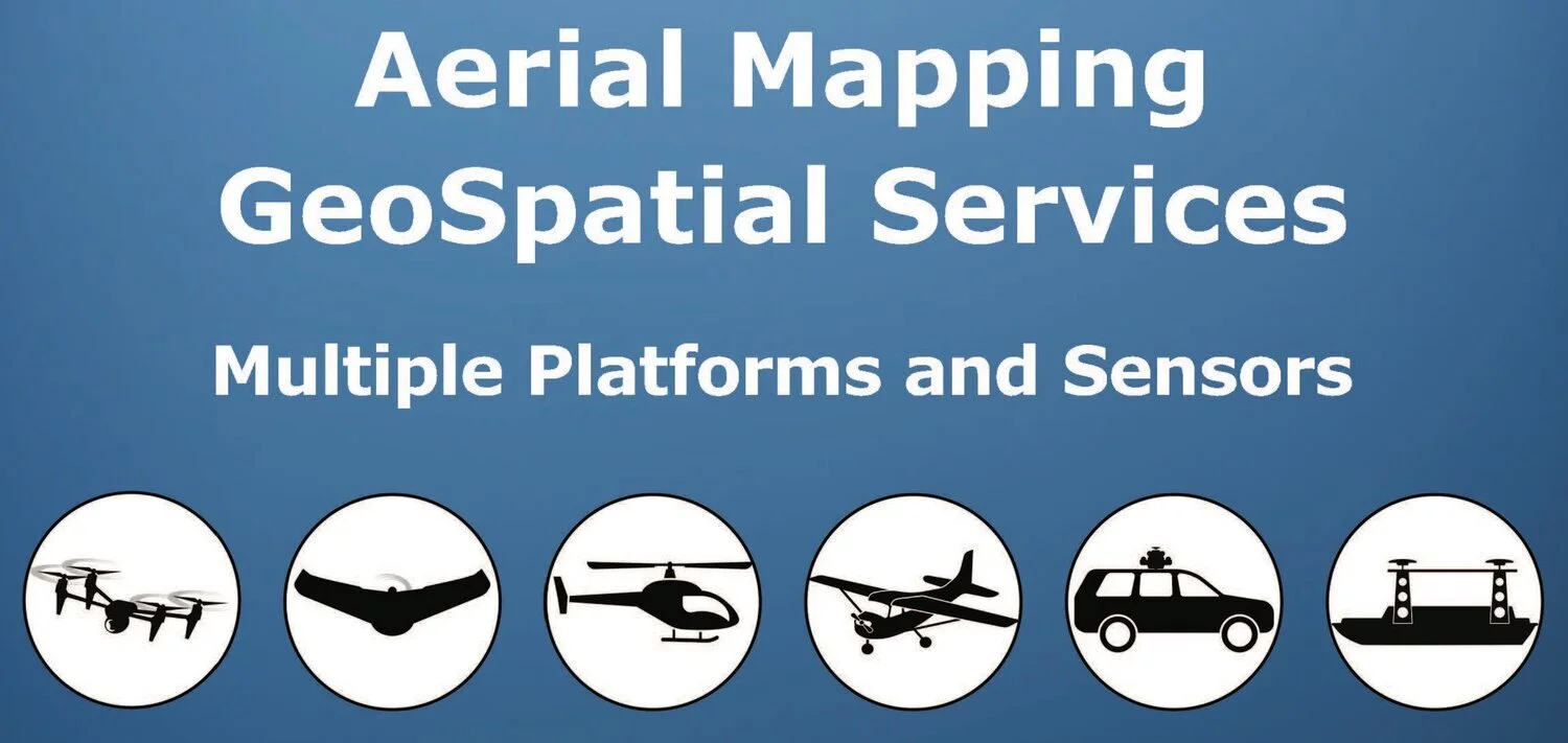
Today, DroneView Technologies is far more than “just drones”
Drone (Image + LiDAR) ⧫ Manned Aircraft (Image + LiDAR) ⧫ Mobile LiDAR ⧫ Bathymetric
DroneView has assembled a robust internal team of professionals with expertise in photogrammetry, survey, LiDAR and CAD, in addition to market leading drone expertise. Our team enables us to deliver high accuracy mapping products to clients in various industries including: energy, airports, solar, wind, oil/gas, mining/aggregates, landfill, infrastructure, land development, construction, among others.
What has been the secret of DroneView’s success to date?
(1) With our foundation and expertise in photogrammetry and high accuracy mapping, guided by ASPRS standards, DroneView brings clients trusted, consultative expertise and real business value delivered through our technology enabled service offering
(2) Acquiring a drone is easy. Achieving verifiable accuracy, scalable and repeatedly on high precision aerial mapping projects is difficult and requires multiple skills and resources.
(3) Drones are not the right tool for many projects. Having DroneView as a single point of contact with the ability to mobilize UAV LiDAR, manned aircraft, mobile LiDAR and a myriad of sensors and consistently delivering accurate and timely mapping products is of great value to clients.
(4) DroneView has developed proprietary, streamlined production workflows with logical QA/QC gates and checks throughout the process
(5) DroneView has developed innovative methods to combine multiple sources of information - namely imaging and LiDAR - to create richer datasets and allow for greater insight and efficiency
(6) DroneView provides solutions/products, utilizing highly trained professionals that software alone is not capable of achieving
(7) DroneView regularly provides Consistent, Accurate and Timely delivery of geospatial products at fair prices
DroneView Technologies: Drone Market Outlook for 2020
The Commercial Drone Market has Become Reality - what at first was a market filled with hype and skepticism has morphed and we are now seeing the transformation and productive use of drones in mainstream business workflows
The broad “drone market” will continue to fragment with specialized platforms, sensors and workflows designed for specific industry use cases
We will see increased reliance on service providers with specialized subject matter expertise - as companies recognize that high accuracy solutions are best achieved by professionals with the requisite equipment and skills
The business case (ROI) to acquire a $150k - $300k UAV LiDAR platform will continue to be cost prohibitive for most organizations for the foreseeable future
Despite the increased complexity, workflows leveraging RTK/PPK solutions will become more widespread and lead to improved mapping project efficiency and accuracy.
Many mapping projects in vegetated areas that historically required “leaf off” conditions can now be achieved with LiDAR sensors and advanced production methods
Most of the recent drone news stories, albeit interesting, will have little impact on commercial drone operations in 2020 - including FAA mandated remote ID, drone delivery, operating beyond visual line of sight (BVLOS), drones transporting people, ADSB receivers, etc.
Fusing data from multiple sensors, creating richer datasets will become more common, especially on high accuracy projects
Standards (ASPRS and/or others) and post processing best practices to quantify and verify accuracy of mapping projects will become more common. No longer will hope and “the illusion of accuracy” suffice
Drone industry consolidation will increase through acquisition, strategic partnerships and company failures.
We continue to offer our gratitude and sincere thanks to the many people that have helped guide us on our journey. With clarity to our business and strength in our market leading team of professionals, we are extremely excited for what lies ahead for DroneView Technologies in the upcoming year and beyond.
Our best wishes to all for a happy, healthy and prosperous New Year.
michael singer
Founder & CEO
DroneView Technologies


